
Walk a Libertyville Street Directory
A Libertyville address search works best as a chain, not as a single name query. Lake County GIS first confirms the number, street, unit, ZIP, status, and parcel link. The Assessor then identifies the owner or billing role shown for a tax year. Those fields do not prove who sleeps at the address. The Recording Division can connect the parcel to recorded transfers, while Voter Power can check one known voter only when exact personal inputs are supplied. Cook Memorial Public Library District sources add older occupants by edition date.
- Normalize the house number, direction, street name, suffix, unit, city, and ZIP against the County address-point fields.
- Search the Lake County Assessor by address, then retain the PIN, situs address, matched owner or billing field, and tax year.
- Open the parcel and nearby road, lot, address-label, and subdivision layers in County GIS to confirm the street segment.
- Use the PIN, owner name, property address, and legal description in the Recorder index to follow recorded transfers.
- For a known person, use Voter Power within its exact-input rules. For an older household, consult dated criss-cross or city directories.
This process prevents a common error: calling every name in a property record a resident. Keep the source role in the result, such as taxpayer, billing name, grantor, grantee, or permit applicant. A clean street directory entry says what the record shows and when it showed it.
Search Libertyville Parcels by Address
The Lake County real-property search is the strongest first portal for a current Libertyville parcel. Its instructions allow a street number and street name without the direction. A wildcard may appear at the end, and an asterisk can stand inside a word. The result should be read with its tax year and data notice. The portal distinguishes Owner from Billing Name, and its property location is the situs, or physical address of the parcel.
| Search field | How to use it | What to preserve |
|---|---|---|
| Parcel ID | Enter the PIN without dashes | Exact parcel link |
| Owner | Use last name, then first name | Owner field label and year |
| Billing Name | Search the assessment contact separately | Do not label as occupant |
| Address No, Street, Unit | Start broad, then add the unit | Situs address and matched unit |
| Zip Code, Filter, Sort | Narrow results after the street match | Applied filter and tax year |
A parcel panel may also show the legal description, municipality, township, neighborhood, district fields, and sales or comparable actions. These facts help place an address. They still do not create a household roster. The County also warns against data mining, so inspect relevant parcels rather than attempting a bulk export.
Map Libertyville Streets and Parcels
The Lake County Tax Parcel Viewer and its published GIS services place a street name within parcel, lot, road, subdivision, address-label, historic tax-map, and public right-of-way layers. Address points include house number, pre- and post-direction, street suffix, unit, city, ZIP, coordinates, and a status such as Current, Pending, or Retired. The live viewer controls were not exposed during research, so the published layers are the verified basis for describing its capabilities.
The manifest image comes from the Lake County address and ZIP map service.
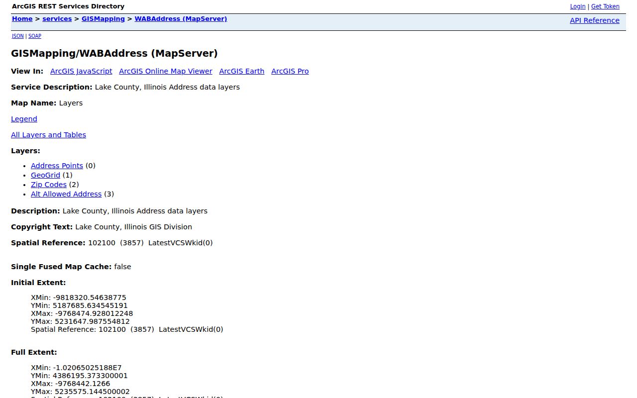
The service page verifies the layer source behind a by-address search, even when the interactive map interface changes. Use GIS adjacency as a map clue. A recorded plat, deed, easement, or survey controls a legal boundary.
Libertyville Street Directory Terms
Four terms keep an address record accurate. They distinguish a physical place, a tax unit, a legal map, and a printed reverse lookup.
- Parcel
- A mapped unit of land identified in Lake County by a parcel identification number, or PIN.
- Situs address
- The parcel's physical location. It may differ from the taxpayer or billing address.
- Plat
- A recorded map that sets out lots, blocks, roads, and other legal land details.
- Criss-cross directory
- A dated directory arranged by street or phone number so an address can lead to a printed name.
Use the legal description and PIN when an old deed lacks a modern street label. They are more stable than a mailing address and can link the Assessor, GIS, and Recorder results.
Libertyville Records Found by Street
No official Libertyville source publishes a complete list of everyone on a street. Several address-keyed sources can be joined with care. Land systems establish parcels, roles, transfers, and map context. Village files can add a dated project or inspection trail. Historical books may name an occupant for one edition.
| Record Set | Keeper | What It Shows | Access |
|---|---|---|---|
| Property and tax panel | Lake County Assessor | Situs, PIN, owner or billing role, tax year | Free portal; anti-mining notice |
| Address and parcel GIS | Lake County GIS | Address status, parcels, lots, roads, subdivisions | Viewer and public REST services |
| Recorded instruments | Lake County Recording Division | Transfer parties, dates, legal description, liens and plats | Online index; counter and copy routes |
| Individual voter check | Lake County Clerk | Status and current address for an exact known voter | Voter Power; not a street-wide roll |
| Permits and inspections | Libertyville Community Development | Site, PIN, permit, trade, date, applicant role | Forms, department contact, or FOIA |
| Historic directories | Cook Park Library | Dated address-to-name entries | Local-history collection and staff help |
The PIN is the main bridge among the Assessor, GIS, Recorder, and permit trail. A street name is less stable, especially where an old number or County address project changed the label. For historic occupants, move to the Libertyville city directory collections only after the address and date are settled.
Deeds Along a Libertyville Street
The Lake County Recorder advanced search accepts separate grantor and grantee names, document number, book and page, parcel number, township, property address, remarks, image phrase, subdivision, condominium, and legal-description fields. Grantor means the party transferring an interest; grantee means the party receiving it. Search a matched parcel, then verify document type, recording date, and legal description before tying a filing to the street.
The Recorder image assigned to the Libertyville street directory shows the advanced grantor and grantee search surface.
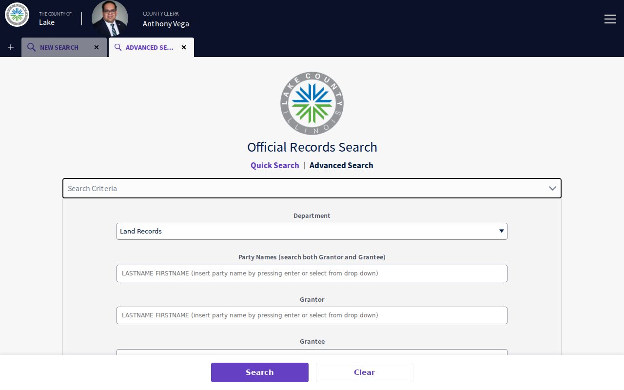
The current electronic index covers 1980 forward. The Historical Record menu covers 1841 through 1979, while older work also uses the pre-1980 OIB grantor/grantee books. Public land records may be viewed without FOIA. The Recording FAQ documents counter, mail, fax, phone, and email copy paths, and County copies are listed at $1 per page.
Quick search accepts a grantor or grantee, subdivision, document type, or document number, plus an optional recording date and date range. It can search the index alone or include optical character recognition text from images. The County search pamphlet recommends surname then given name, quotation marks for an exact phrase, and a percent sign as a wildcard. Those options help with spelling shifts, but every match still needs the parcel or legal description as a cross-check.
Libertyville Permits by Street Address
Village building records can place work at an address even when there is no searchable public permit-result portal. The Libertyville building inspections page explains inspection types and requests. The inspection form uses site address, permit number, requested date and time, contact information, and trade type. Permit and plan-review forms also capture parcel, owner, applicant, contractor, and project details. Preserve those roles instead of treating each named person as an occupant.
The captured Village inspection source shows the public access point used for this part of the street directory.
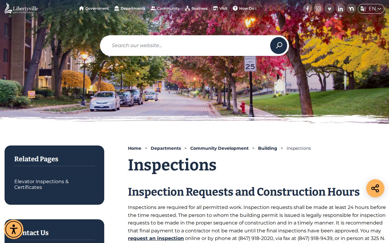
If a dated permit log or non-exempt address file is not posted, contact Community Development or use the Village NextRequest portal. A narrow request should name the site, parcel, record type, and date range.
Voter Records on Libertyville Streets
Lake County Voter Power is an individual status tool, not an open street roll. It requires first name, last name, house number, ZIP, and date of birth. That makes it useful for checking a known person's current registration result, but it cannot be browsed down a block. Separate voter files are governed by Illinois Election Code limits and County political or governmental-purpose rules.
A negative result is not proof that nobody lives at the address. Registration may be absent, protected, out of date, or entered under a different valid format. Record the inputs and search date, then rely on a different source for the question at hand.
Changed Libertyville Street Addresses
Lake County's 2019 dual-address ordinance standardized single addresses for about 3,000 unincorporated properties. The County reports 3,160 affected properties, with 2,712, or 86 percent, keeping their primary address. NG911 implementation was tied to July 1, 2020. Libertyville-area examples include Saint Mary's Road, Sunnyview Road and Bell Lane, Terre Fair, and Woodfield Lane. These examples concern unincorporated address administration, not a list of roads wholly inside the Village.
This former-to-current bridge matters when a deed, census line, permit, or directory seems to vanish. Search both labels, retain the PIN, and request an address-assignment order or plat if the match remains unclear. No complete official Libertyville old-to-new street-number index was located.
Jurisdiction matters too. A Libertyville mailing city may describe an unincorporated County or township site outside the incorporated Village. County GIS assigns addresses in unincorporated areas and in municipalities that request the service. Check the parcel's municipality and township fields before sending a permit or records request. Village Community Development handles Village building files, while County Planning, Building and Development is the proper fallback for County-administered land.
Historic Libertyville Streets by Address
Cook Library's house-history method pairs modern address work with census street and house numbers, local newspapers, deeds, directories, and maps. Libertyville Sanborn fire-insurance editions exist for 1897, 1907, 1912, 1924, and 1933, with later local coverage described through 1933-48. County historical aerials span listed years from 1939 through 2010, and the Dunn Museum repository identifies plats dating to 1861.
The 1895 east-side fire is a useful street-history test. Newspaper reports, Village Board proceedings, assessment and transfer records, Sanborn updates, and Historical Society images may show different parts of the event. None alone proves an occupant. Keep each date, sheet, page, and record type distinct.
County archives offer a second route when the online street directory stops. The Bess Bower Dunn Museum in Libertyville holds the Lake County History Archives, including residence photographs, school and farm images, early plats, and township records. Cook Park Library adds newspapers, directory runs, phone books, census material, and house-history help. These are research collections, so contact staff or arrange archival access instead of expecting a current-person search box.
Limits of Libertyville Street Records
A Libertyville street directory cannot reliably name every current occupant. The Assessor identifies tax roles, and a deed identifies parties to a recorded instrument. Neither is a full resident roll. Utility and delivery customer data are not an open block list. DMV address data is restricted, protected addresses may be hidden, and the County did not expose a public utility-customer or household roster.
Commercial address tools may merge old marketing, parcel, and directory data. Their dates and identities can be wrong. Official records are narrower but show the custodian, role, and date needed to test a claim.
Lawful use. Use Libertyville address records for lawful personal research. Never use them to stalk, harass, threaten, or harm a person.